Three Notched Geomatics connects people to their world by providing land surveying and consulting services to support land development, planning, and sustainability.
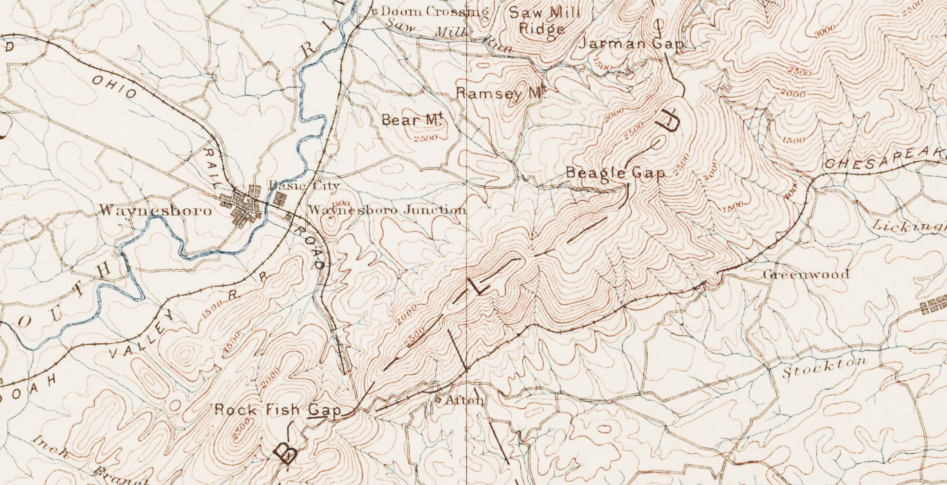
Three Notched Geomatics, LLC is a land surveying and geomatics company based in Waynesboro, Virginia. We assist surveying, engineering, and development clients throughout the Commonwealth.
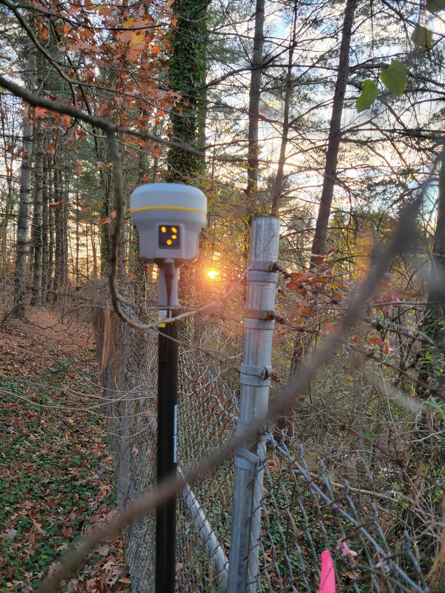
Services:
Boundary surveys
Topographic surveys
Subdivision and Boundary Line Adjustments/Vacations
ALTA/NSPS Land Title Surveys
Residential site plans
Title Analysis/Constraint Mapping
Easement Plats
Construction Surveying
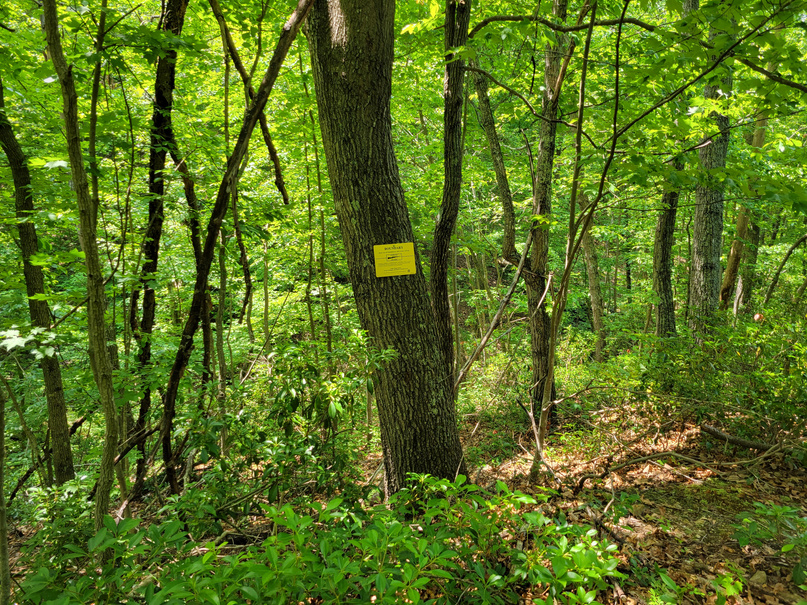
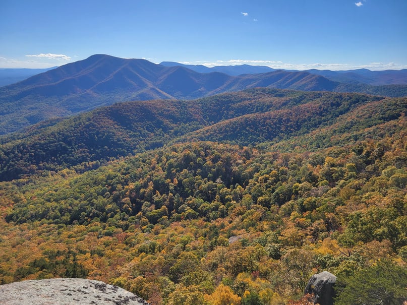
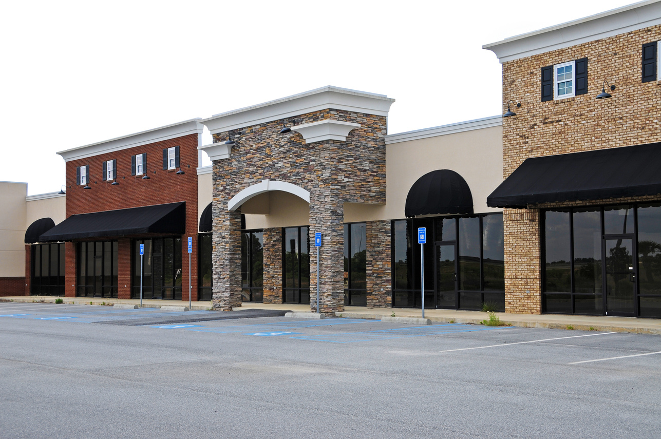
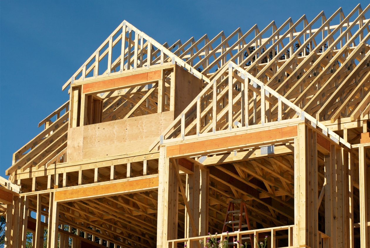
Areas of Expertise
Kris Caister, owner, has 20 years Land Surveying experience. He began surveying in Montana and came home to Virginia in 2007. He has worked on projects across the country, including commercial corner retail, multi-story construction projects, house layouts, and thousand-acre solar projects.

Years of Experience
20+
Completed Projects
400+
Kris Caister, LS, owner of Three Notched Geomatics, graduated from EC Glass High School in Lynchburg in 1993 and earned a BA from University of Virginia in 1997 whereupon the West began to call his name. After earning bragging rights on mountains all up and down the continental divide, he graduated first in class at Flathead Valley Community College with an Associate Degree in Land Surveying, earned his SIT in 2007 and moved back east. In 2011, while managing a survey team in Newport News, he gained licensure in the Commonwealth.
You ask, We answer
How Much Does a Survey Cost?
Land surveying is a service-based profession and putting a flat price on surveying your unique property will vary widely. As your surveyor, we will work with you to adjust your scope to fit your budget.
Do I need be home when you come to survey?
Nope. Please give Fido an “inside” day though!
Is that a camera on legs? or “take my picture!”
If I had dollar for every time I was asked this.... No, It’s not a camera, that thing on the tripod is called a total station. A total station measures distances and angles to particular positions in the area for your survey. Those distances and angles are turned into points and those points are the data to create your survey.
How Long does it take to complete a survey?
Every property has a history. Your property’s history began the moment it was created and put in the public record, each owner and improvement is added to the record over time. We work efficiently and thoroughly to discover and locate the evidence of its history. A small residential lot survey may only take a few hours of field and office time, while an old, rural boundary may take several weeks of effort. We provide an estimate of the schedule with the proposal.
Serving Virginia
Kris Caister, L.S.
PO Box 872
Waynesboro, VA 22980
Office: 540.324.5220
Mobile: 757.285.2946
kris.caister@threenotchedgeo.com
